Monday, November 9, 2026
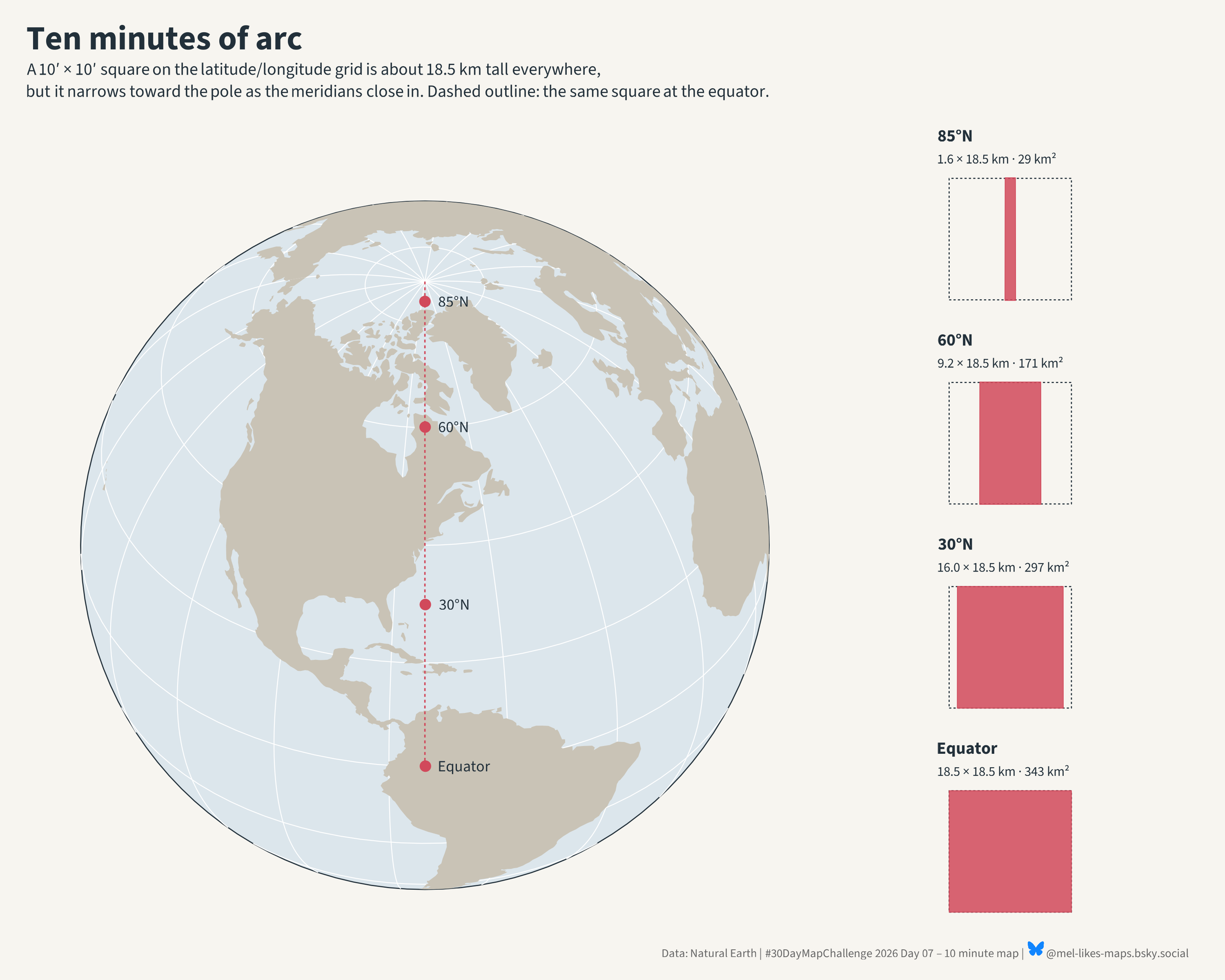
#30DayMapChallenge Day 07 · 10 minute map I used Claude to get this done in 10 minutes. We’re looking at how 10-minute cells change in size as you move north from the equator. #rstats #dataviz
Monday, November 9, 2026
#30DayMapChallenge Day 07 · 10 minute map I used Claude to get this done in 10 minutes. We’re looking at how 10-minute cells change in size as you move north from the equator. #rstats #dataviz