Saturday, November 15, 2025
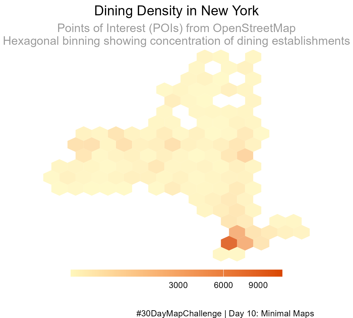
I wanted more practice using OpenStreetMap data. Here is a hexagonal map of dining places in New York State, made in #rstats using OSM point-of-interest data. #30DayMapChallenge Day 10: Minimal Maps. #gis
Saturday, November 15, 2025
I wanted more practice using OpenStreetMap data. Here is a hexagonal map of dining places in New York State, made in #rstats using OSM point-of-interest data. #30DayMapChallenge Day 10: Minimal Maps. #gis